Todo perfecto, seguro que repetimos.
J
Jorge M.
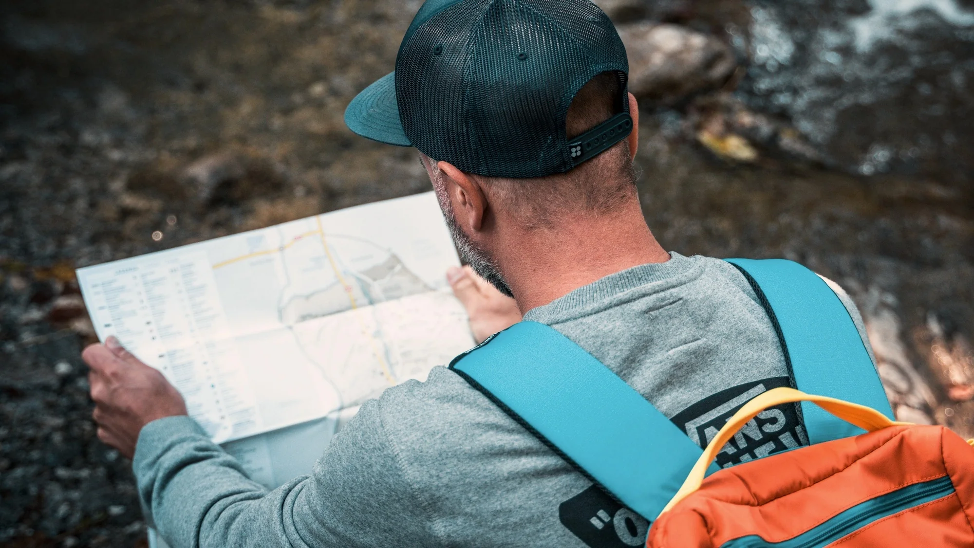
Learn to read the terrain, use a map and compass, and find your way in the mountains without relying on GPS. Clear theory and a real route to put it into practice.
★★★★★ 4.9 on Google — 300+ reviews
01The story behind this course
You don't need to be afraid of getting lost. You need to have resources.
You head into the hills following a track or whoever is in front. It works, until it doesn't: your phone runs out of battery, fog wipes out the landmarks or the path doesn't match what you expected.
This course is so that, when that happens, you can locate yourself on the map, take a bearing and decide which way to go.
Two days: first the theory and guided practice, then a route where you apply it with more independence. Open each day to see the details.
We start with the essentials: how to read a topographic map, interpret contour lines and scales, orient the map to the terrain and take bearings with a compass. All the theory is practised straight away on the ground, with short guided exercises: finding a point, following a bearing, working out distances on foot. We end the day with a short guided route where everyone takes turns leading the navigation.
We put everything into practice on a longer route, where the group decides the way using only map and compass, with no GPS. The guide watches and corrects, but the students make the navigation decisions: choosing the reference point, working out the bearing, adjusting if something doesn't match the terrain. It's the best way to check that the previous day's technique has sunk in.
02What you can't learn from a book
Knowing what a contour line is is not the same as looking at the slope and recognising it on the map.
Reading how to take a bearing is not the same as following it on foot without drifting.
Knowing the scale is not the same as working out how far you have left and whether you'll make it before dark.
Walking behind someone who knows teaches you nothing. It just gets you there.
You can't read that. You train it out on the ground, with someone beside you who corrects you the moment you drift.
Everything essential to learn safely. Just turn up ready for it with your personal kit.
03What happens afterwards
The usual story is leaving a course with your head full, not opening a map for two months and finding you've forgotten half of it. It's not your fault: a new technique needs to be repeated soon to stick.
That's why the course doesn't end when the route does.
04Student materials
When you sign up for the course you get an access code. With it you enter the student area, where you'll find the course material we prepare for your group.
You'll have it before the course starts, so you arrive on the first day with the basics already covered.
This is what you need for the course. If you're missing something, ask us: we can lend some of the gear.
Footwear is key to your safety. Avoid very old or worn footwear: soles degrade over time even if they look fine. If you're not sure whether your footwear is suitable, ask us first and we'll advise you.
05What you take away
At the end you won't be an expert. You'll be something more useful: someone who can read a map, orient it to the terrain and choose the route without relying on GPS.
With contour lines and scales clear. Taking bearings with the compass. Estimating distances as you walk. And readjusting when something doesn't match the terrain.
06Before you book
Groups of no more than 8 students, so everyone gets individual feedback. If there are two of you, the course is private.
All prices include VAT. It's 16 hours of training over two days, with a maximum of 8 students per instructor. Are there two of you? You can join a group that's already formed and pay €220: message us and we'll tell you the next dates with free places.
On WhatsApp, with the date and how many of you there are. We'll confirm availability.
The course is paid in full when you book, by bank transfer. Your place is confirmed with the payment.
If the guide calls it off for safety or weather, we'll offer you another date.
Tell us how many of you there are and we'll confirm the price and date.
Book a place→A taste of what you'll experience on the Navigation and Map Reading Course.


What people ask us most before signing up for a course. If you still have questions, message us on WhatsApp.
To join: Minimum age: 14 (for under-14s, ask us privately). No previous experience needed. Maximum 8 students per instructor.
Risks: we walk in the mountains, on and off the paths. The most common risks are sprains and falls on uneven ground, tiredness, heat or cold, and getting lost if someone strays from the group. The guide sets out the practice sections and nobody is left unsupervised.
Rules for the natural setting: we respect paths and private property, we leave no rubbish, we light no fires and we don’t disturb livestock or wildlife.
Everything else is in the terms and conditions.
Send us a WhatsApp message with the course, the date and the number of people. We check availability and send you the steps to book your place.
Yes, most students come without a group. The courses are a great way to meet people who share the same passion.
No. All our courses are beginner courses and start from scratch, explaining every concept from the basics.
The course is confirmed 30 days before. If the course you signed up for doesn't go ahead, we'll offer you another suitable date or refund your booking.
If the minimum isn't reached, we'll let you know in advance and offer you the next available date or a refund of your booking.
Comfortable mountain clothing, suitable footwear and water. You can see the full list under “Pack your backpack”, further down this page.
We set out the programme with the elevation gain, distance and details of each day so you can judge whether it suits you. Mountain activities require good general fitness.
Real reviews from students who have done our courses.
Todo perfecto, seguro que repetimos.
Profesionalidad de los guías: amables, atentos y muy serios. Dan mucha confianza.
Tres días de aventura magníficos. La experiencia fue extraordinaria gracias a los guías.
Barrancos, ferratas, trekking y paisajes de ensueño. Guías cercanos y profesionales.
Experiencias impresionantes, monitores muy profesionales y material de muy buena calidad.
Una experiencia que se graba a fuego. Los guías transmiten seguridad desde el minuto uno.
Primera vez haciendo barranquismo y ni siquiera sé nadar; me sentí segura en todo momento.
No solo son cracks técnicamente, transmiten seguridad y hacen que cada actividad sea diversión pura.
Un auténtico placer disfrutar de grandes profesionales. 100% recomendable, repetiré seguro.
Two 8-hour days · Maximum 8 students per instructor · Course materials and insurance included · From €220 per person.
Now is a good time for via ferratas: the Introductory Via Ferrata Course and the Fuente del Chorrico Via Ferrata. And if you prefer water, the Introductory Canyoning Course. With a few days to spare, Snowshoeing in La Cerdanya or the Tenerife Trek.
Canyoning season is here: the Introductory Canyoning Course and Gorgo de la Escalera. And if you prefer rock, the Introductory Via Ferrata Course. With a few days to spare, Snowshoeing in La Cerdanya or the Tenerife Trek.
Canyoning season is here: the Introductory Canyoning Course and Gorgo de la Escalera. And if you prefer rock, the Introductory Via Ferrata Course. With a few days to spare, Multi-adventure in the Benasque Valley or the Toubkal Trek.